As countries around the world begin to either propose or enforce zero-deforestation regulations, companies are coming under growing pressure to prove that their products are free of deforestation. But this…
We’ve been largely flying blind when it comes to fishing, shipping and energy production intel on our oceans, according to a new study that combines artificial intelligence with satellite technology.…
This is the second article in our five-part series on forest carbon credits and the voluntary market. Read Part One, Part Three, Part Four and Part Five. SEN MONOROM, Cambodia…
What works better: protected areas managed by the state, or areas conserved by Indigenous peoples and local communities? More than 50 different researchers came together to try to settle this…
Greenhouse gas emissions from tropical forest loss increased by 5% in 2022 from the year before, while temperate forests bolstered their carbon-absorbing capacity, according to latest data from a carbon…
Rubber cultivation in Southeast Asia is responsible for double or even triple the deforestation previously attributed to it, according to a recently published study. Antje Ahrends, one of the study’s…
A new collection of global maps and data sets aims to help companies better monitor their environmental impact along every step of the supply chain, and forecast future impacts as…
JAKARTA — An independent initiative in Indonesia has ramped up its efforts in mapping Indigenous lands, with 6 million hectares (14.8 million acres) mapped in the past year alone. As…
Earlier this month, the leaders of eight countries in South America signed the Belém Declaration, billed as a landmark step towards saving the Amazon Rainforest. But it was criticized for…
The Okapi Wildlife Reserve in northeastern Democratic Republic of Congo (DRC) protects nearly 14,000 square kilometers (5,405 square miles) of tropical rainforest and is a UNESCO World Heritage Site. It’s…
A new global analysis focuses on the climate benefits of restoring degraded forest areas instead of replanting trees in deforested areas. Researchers mapped forests worldwide to find areas that could…
RIO DE JANEIRO — Monitoring the threats that uncontacted traditional peoples face in the Brazilian Amazon is set to become easier for Indigenous rights activists and agencies, thanks to a…
When Hurricane Dorian blazed its trail of destruction through the Bahamas in 2019, it ravaged the country’s mangroves. Almost overnight, coastal communities were deprived of a natural barrier that protected…
When it comes to mapping green cover, it's easy to miss the trees for the forest. New research suggests that there are a lot of missed trees: almost 30% of…
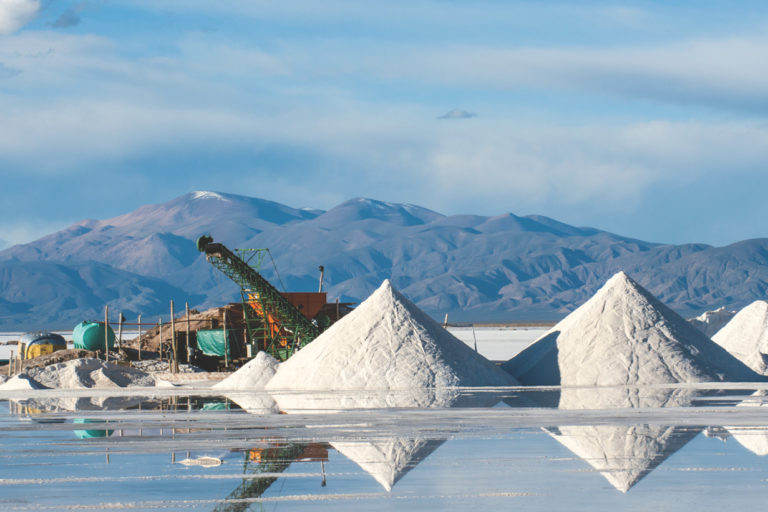
We live at the center of a spiderweb of global mining supply chains. The vehicle that took you to the market, the rechargeable battery in your headphones, and the phone…
Protected areas and Indigenous territories in the Amazon Rainforest experienced just one-third the amount of primary forest loss as non-protected areas, according to a new report. The Monitoring of the…
The Philippine eagle, the archipelagic nation's iconic, endemic apex predator, has been declared threatened with extinction for nearly three decades. Yet despite its status as the national bird, little is…
For the first time ever, researchers have plotted out the locations and tabulated the carbon stocks of more than 9.9 billion individual trees spread across the dry belt of land…
In December 2004, the worst tsunami in recorded history devastated the region encircling the Indian Ocean, killing more than 200,000 people in 14 countries. One year later, researchers showed that…
A new map finds that roughly a third of U.S. mature forests are on federal lands, which President Biden appears eager to protect to store carbon. But much mature forest is also privately held, especially in the Southeast, and is at risk.
Users of a new digital platform from nonprofit CTrees will be able to track in near-real-time the carbon stored and emitted in the world’s forests. The platform is borne out…
JAKARTA — An independent initiative in Indonesia continues to make rapid progress in mapping Indigenous lands, with an area the size of Belgium mapped in the past few months alone.…
In 2005, a chimpanzee named Tico arrived at a rescue center in Spain. The details of his early life were vague: he'd been found roaming in the mountains before being…
Google and the World Resources Institute (WRI) this week announced the launch of a new mapping tool touted as providing an unprecedented level of detail about how land is being…
JAKARTA — An independent initiative in Indonesia has mapped Indigenous lands covering an area half the size of Germany since it began in 2010, nearly a third of it in…
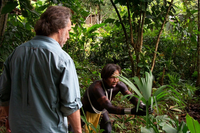
As a best-selling author, the co-founder of the award-winning Amazon Conservation Team, and an acclaimed public speaker, Mark Plotkin is one of the world’s most prominent rainforest ethnobotanists and conservationists.…
Conservation ecologist Thomas Davies has long known that natural light plays a pivotal role in the lives of many marine organisms. “They use it as a clock,” Davies, a lecturer…
Research published in recent years has shown that Indigenous territories have experienced substantially lower rates of forest loss than non-Indigenous lands. Given that Indigenous territories account for at least 36%…
As the world grapples with unparalleled rates of deforestation and extinction, an increasing number of governments and other entities are recognizing the importance of protecting 30% of the land and…
JAKARTA — Experts say that since there’s no one-size-fits-all solution to achieve effective zero deforestation commitment (ZDC) mapping and monitoring, they have created an attribute framework to guide the development…