- We briefly compare the satellite tracking systems and tags deployed by the Basking Shark Satellite Tagging Project in the UK to track basking shark movements and understand their ranging behaviors.
- These tags and tracking systems are used on other marine species, as well as turtles, penguins, and other birds.
- A three-year tracking project of basking sharks highlights the importance and potential efficacy of a marine protected area in the Sea of Hebrides.
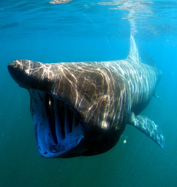
Recorded at up to 8,000 pounds, the basking shark (Cetorhinus maximus) is the world’s second largest fish species, smaller only than the whale shark (Rhincodon typus). For decades, humans hunted these sharks for their liver oil and until recently, aside from the historical human uses, relatively little was known about this species.
Researchers from Scottish Natural Heritage (SNH) and the University of Exeter (UoE) have begun to investigate the sharks’ distribution and movement behaviors through the Basking Shark Satellite Tagging Project. Dr. Suzanne Henderson from SNH, the project manager, explained to WildTech the impetus for this project:
We don’t fully understand basking shark distribution, abundance, or the influence they have on marine ecosystems. They are one of a few sharks feeding directly on zooplankton and as such may influence mesopredators’ numbers. Having been exploited heavily in the past, this iconic species, with its many secrets, deserved further investigation. Limited research has occurred so far, possibly in part due to the shark’s size, behavior (at surface in large numbers only in certain locations) and costly technology. Recent advances in satellite tagging technology (battery power and size), alongside a new focus on Marine Protected Areas in Scotland after The Marine (Scotland) Act came into force, have all been timely for this research idea.

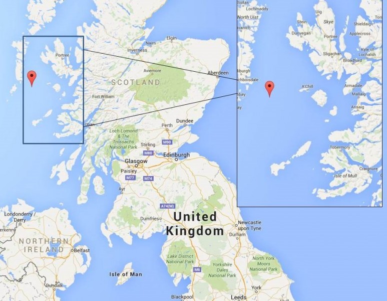
The researchers conducted the three-year project between 2012 and 2014, tracking 61 basking sharks in the waters between Isle of Skye and the Isle of Mull to assess whether these waters should be part of Scotland’s Nature Conservation Marine Protected Areas (MPAs) Programme.

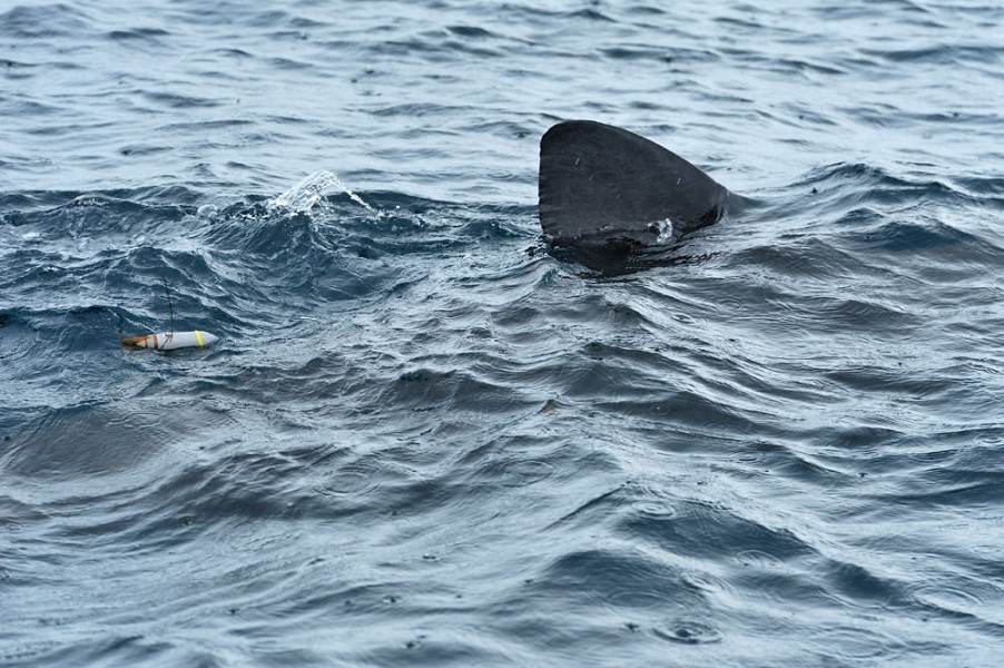
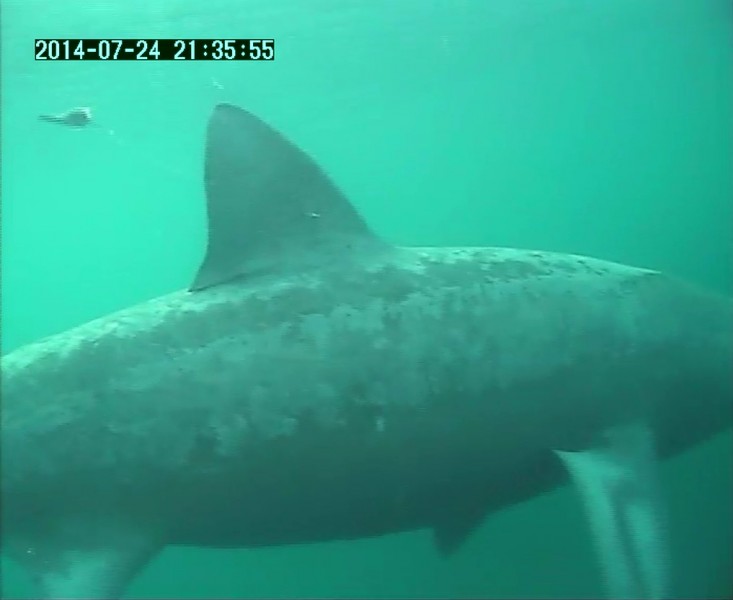
Throughout the project (click here for the project report) the research team deployed four types of tracking tags on the sharks. They followed the sharks’ movements using three tracking systems to address a variety of research questions, including how basking sharks use the waters off the west coast of Scotland, how long they inhabit these waters, and what migration patterns the sharks follow once their leave the area.

The tables below highlight general information and limitations of the different satellite tracking systems and tags used in the Basking Shark Satellite Tracking Project. Email correspondence with Dr. Henderson and the final report document of the project provided information on each system.
| Satellite Tracking System | General Information | Limitations |
| Argos System | Used to track land and marine animals
Uses the Doppler Effect and can be integrated with GPS tracking systems (see Fastloc GPS) Best used for compact, low-power transmitters & can be used in difficult radio environments (e.g. dense rainforest, water) |
Accuracy: up to 150 m using only the Doppler Effect
Tagged marine animals must be on the surface for the system to locate the tag accurately |
| Fastloc GPS | Specially designed for use in marine environments and species that only surface briefly
GPS ‘snapshot’ processing receivers capture locations in tens of milliseconds Radio signals from GPS satellites are processed on the platform and compressed into the ‘snapshot’, which contains the satellite ID numbers, respective pseudo ranges, and a timestamp |
Accuracy: up to 10 GPS satellites can be processed, for accuracy ranging from 20 to 75 m
Tags can be deployed for several months or longer only if data acquisitions occur, at most, once daily Tagged marine animals must be on the surface of the water (at least for a short period of time) for the receiver to transmit data to the satellites accurately |
| Light-based geolocation | Low-resolution tracking method; used for animals that move long distances
Records essential light level information which can be processed to give location latitude and longitude; used for animals that spend little to no time at surface Uses light levels and times of dawn and dusk to estimate location Recent improvement in analysis capacity allows for more accurate depictions of large-scale movements |
Accuracy: only to several tens of kilometers of the tagged individual
o Animal depth in water can hinder accuracy (deeper waters have less light penetration) |

The accuracies of tags are relative and determined more by the tracking system than the type of tag: the accuracy of tags using GPS are 20-75m, the accuracy of those using Argos is up to 150m, and for tags using light geolocation, accuracy is tens of kilometers.
Pop-up tags allow researchers to easily study marine mammals that do not reach the surface frequently or are not re-captured. At a pre-set time and date, a charge passes through a pin on the tag, making it soluble in salt water. This detaches the tag from the animal; the tag then floats to the surface, where it transmits a signal to an over-passing satellite. Once at the surface, the tag can transmit the recorded data to the satellite without needing to be recovered by the researchers. However, if they recover the tag, researchers can download and access higher-resolution data. While more expensive, pop-up tags can save time and resources in other areas of the study, i.e. re-capturing the study animal to remove the tag and extract the data.

| Tags | General Information and Key Features |
| SPOT (Smart Position or Temperature) |
|
| PAT-F (Pop-up Archival Transmitting with Fastloc) |
|
| SPLASH-F (part of SPLASH series) |
|
| MiniPAT (Mini Pop-up Archival Transmitting) |
|

The features and requirements of each tracking device vary slightly and affect their capacity to answer specific questions. As researchers and conservationists, knowing your question is key to choosing appropriate tools. Understanding which tags are most beneficial for collecting specific types of data is necessary to conduct effective research and obtain robust results.
Dr. Henderson explained via email some additional differences in cost and types of information provided by the different tracking tags used in the project.
WildTech: What were the general costs of the satellite tracking systems and the tags?
Costs of tags vary between $1950 USD and $5500 USD (plus VAT), and there are additional satellite costs per month based on when there are transmissions made.
WildTech: Which of the four tags used in this phase of the 3-year project: SPOT, PAT-F, SPLASH-F, MiniPAT, was best suited for this particular project?
SPOT and SPLASH-F tags provided the project with information on surface movements through the summer, a time period when they knew sharks are mainly in Scottish waters…in addition, they also showed sharks surfacing in waters much further south during the winter, and their return to Scotland the following year.
PAT-F and especially the MiniPATs provided them with more detail on longer migrations, and on depth use—so they can begin to understand shark behaviors when they disappear from the surface waters in Scotland.
SPLASH-F tags are a combination of all the tags, so they provided GPS fixes as well as information on depth and light (for light geolocation) – giving a more detailed view of individual’s use of space.

I think it was the combination of the tagging technologies that made this project a real success. We were lucky to get funding for the three years’ work, and managed to successfully tag a relatively large number of sharks each year, with tag types usage adapted based on what we had found in previous years and if advances had been made in tagging or tag housing in the interim months between summer field work.
The satellite tracking systems used in this project have been used in studies of other marine animals—including ocean sunfish, tuna, sea turtles, and other sharks—as well. If you have had successes or failures using any of these technologies in your work, please leave a comment and let the group know of your experience!
Please also join us on our forum page to discuss satellite tracking technologies in marine environments and improve this brief review.